History
Authority
The District is a limited-purpose political subdivision of the State of Texas operating as a municipal utility district pursuant to Article XVI, Section 59 of the Texas Constitution. The District was created by the Texas Water Rights Commission, predecessor to the Texas Commission on Environmental Quality (the “TCEQ”), on July 23, 1968, as a water control and improvement district; creation was confirmed at an election held within the District on September 27, 1969, by a vote of 5 for to 0 against. The District converted to a municipal utility district on August 30, 1976. The District is vested with all of the rights, privileges, authority and functions conferred by the general laws of the State of Texas applicable to municipal utility districts, including without limitation those conferred by Chapter 54, Texas Water Code. The District is empowered to purchase, construct, operate and maintain all works, improvements, and facilities necessary to supply water and wastewater treatment, and for the control and diversion of storm water. The District is additionally empowered to provide for solid waste disposal services and to develop and maintain parks and recreational facilites. The District is subject to the continuing jurisdiction of the TCEQ.
Description
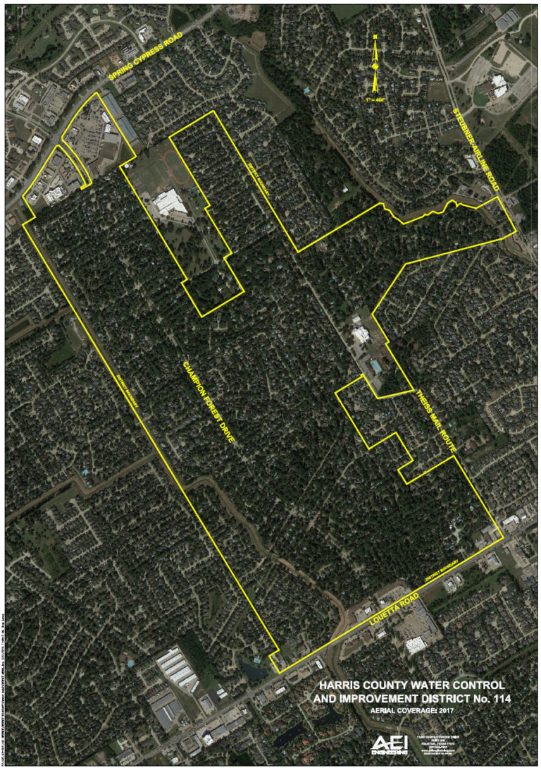
The District is located in northwestern Harris County, approximately 22 miles from Houston’s central business district. It is bounded on the south by Louetta Road and Kleinwood MUD; on the west by Harris County Water Control and Improvement District No. 119 and Louetta North Public Utility District; on the north by Spring-Cypress Road; and on the east by Stuebner-Airline Road and Harris County Municipal Utility District No. 24. The District is within the boundaries of Klein Independent School District and the exclusive extraterritorial jurisdiction of the City of Houston.
According to the Engineer, based on information obtained from the Harris County Engineering Department, only approximately 3 acres (a portion of M.N.W., Section 1 along Theiss Gully) of the District lies within the 100-year flood plain.
District Map